

We are a team of GIS developers committed to improving the quality of public safety data across the country. By providing tools to better manage public safety data, we provide our clients with the peace of mind that their data is accurate, compliant, and safe.
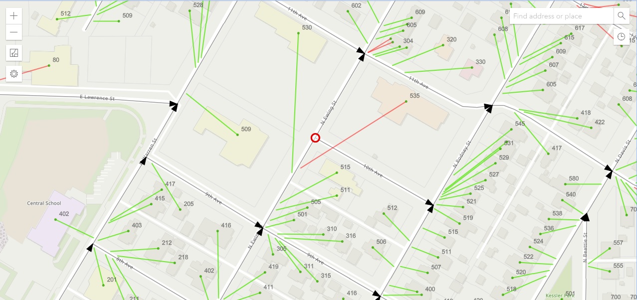
Whether you're just getting started validating your GIS data for Next Generation 9-1-1 or you're interested in performing ongoing maintenance, NG 9-1-1 Data Sync provides invaluable tools necessary to make sure your community is safe. Our apps are backed by years of experience developing GIS apps and managing mission-critical public safety data. Our apps use a Software-as-a-Service (SaaS) model, meaning they run in any modern browser. There is no software to install or update, and our users are always using the most up to date version of our apps. Unlike other NG 9-1-1 data validation tools where you provide your data to a vendor, then wait months for the results, each of our apps use data from your road centerline and address point web services, so the apps always utilize your most recent data. Make an edit to the data? Simply refresh the app to see your corrections in real time. For quickly growing communities, performing data validation once a year is not enough. NG 9-1-1 Data Sync allows you to analyze your data quickly and as frequently as you require.
Ready to get started? Send us a message.
